Scope of Works
To date, through our partners Southern Ecological Solutions (SES) our ecologists have contributed to the delivery of high-quality field survey work across a wide range of English landscapes, supporting consistent national-scale data collection.
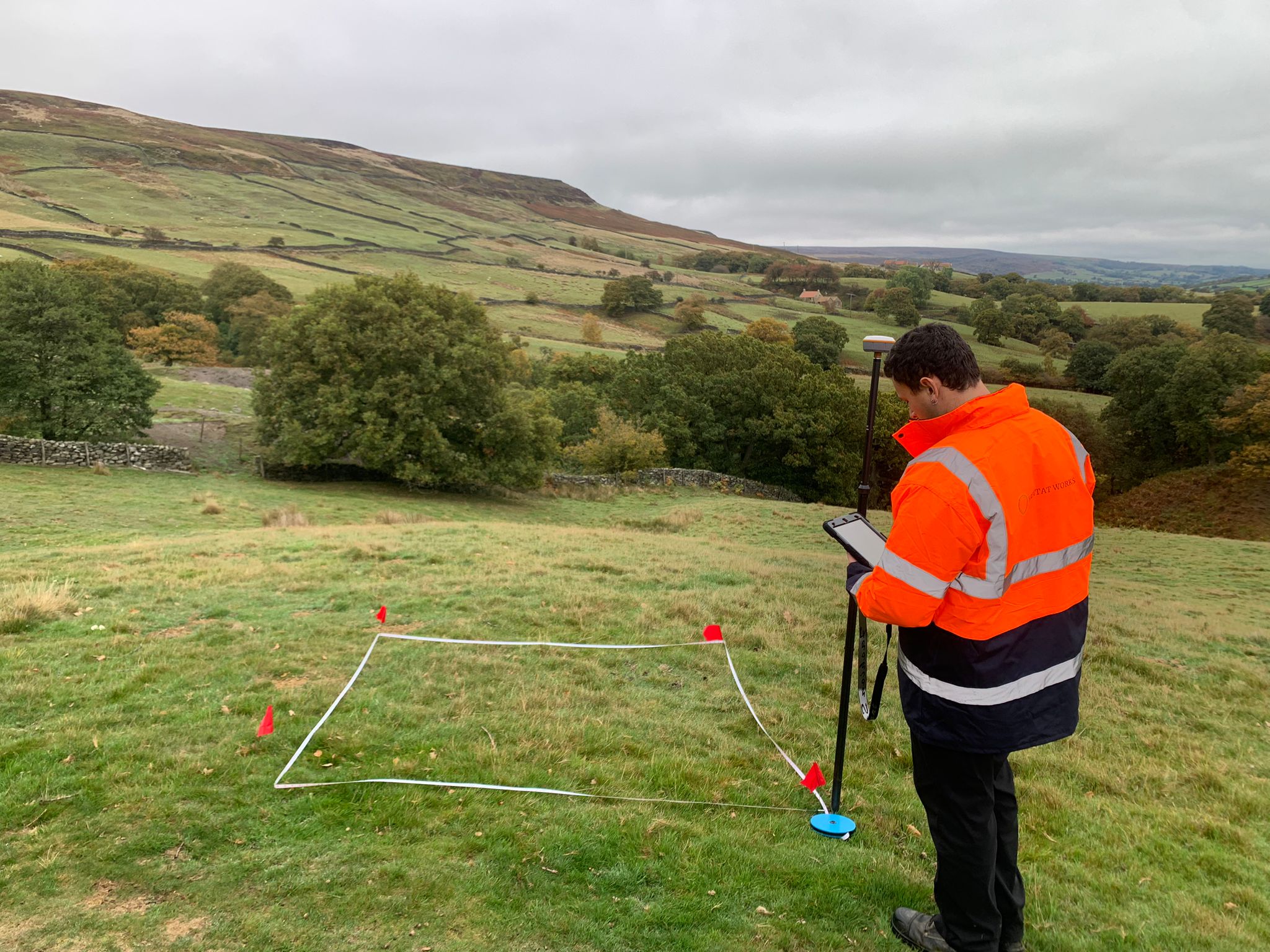
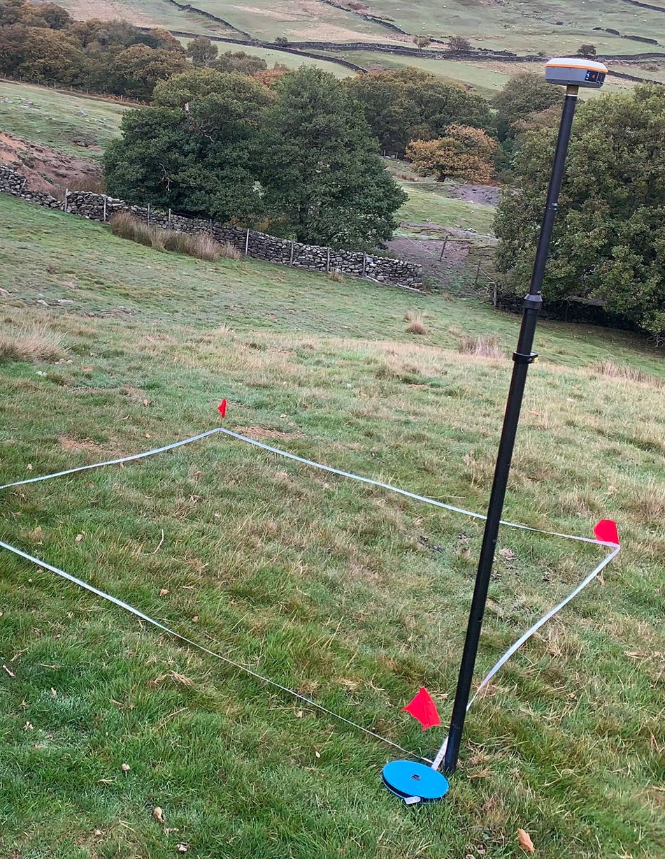
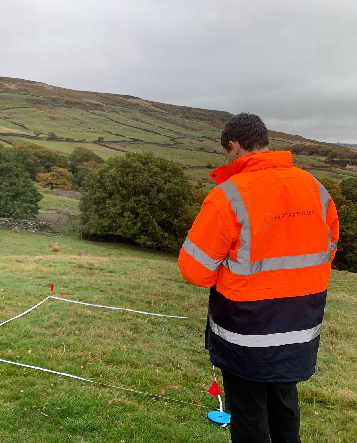
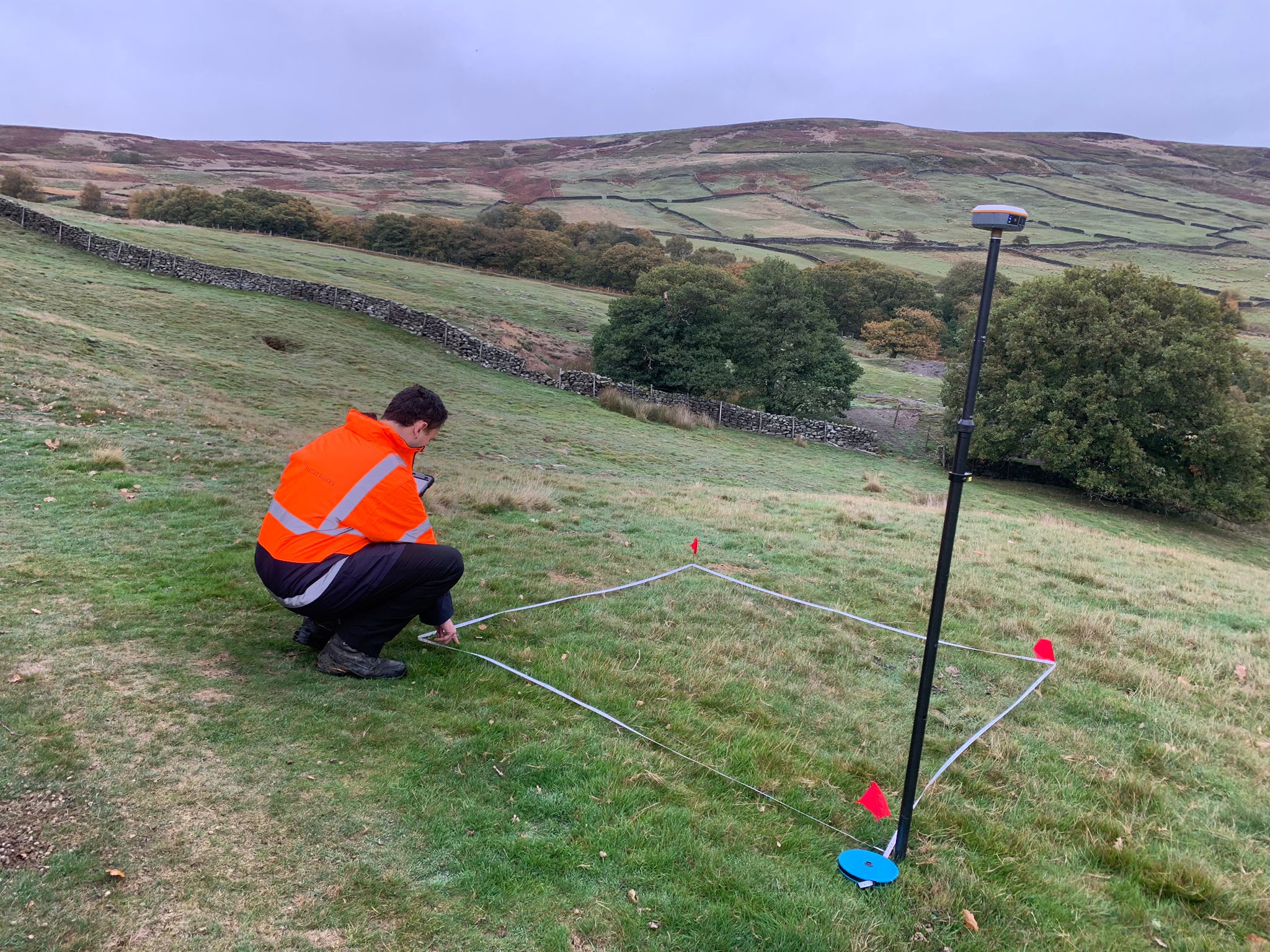
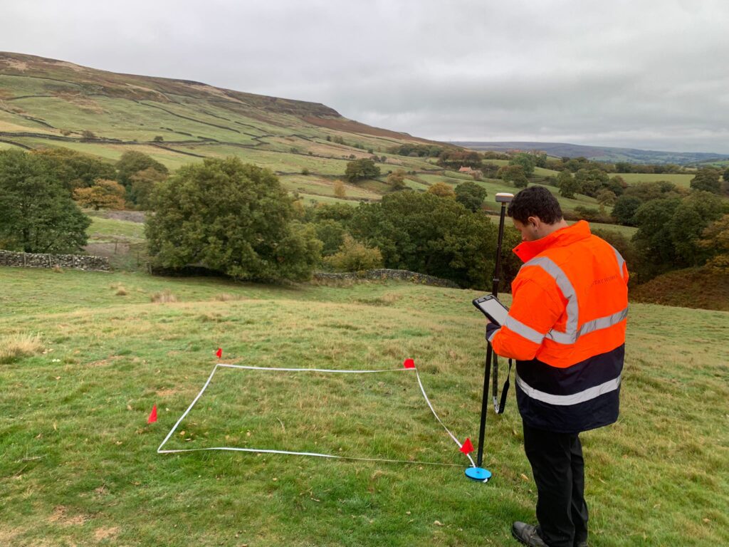
Our ecology team supports delivery of the England Ecosystem Survey through structured fieldwork aligned with Natural England protocols. The survey is based on standardised sampling units (monads), within which a combination of pre-defined and field-selected survey points are used to capture a representative picture of habitats, vegetation and soils.
Some survey plots are randomly pre-selected to ensure consistency and objectivity, with surveyors navigating to fixed locations to complete standardised assessments. Other features, such as hedgerows and riparian corridors, are sampled using plots positioned in relation to these fixed points, ensuring a consistent and objective approach to linear habitats.
Discrete features including ponds and individual trees are recorded as whole features, selected using proximity and additional criteria such as structure or age class diversity. Broader landscape elements, such as hedge networks and watercourses, are recorded where they occur to ensure wider habitat patterns are captured.
This structured methodology ensures the EES produces a consistent, high-quality dataset that accurately reflects habitat variation across England.
Following recent training with Natural England, our team is ready for another busy survey season. The focus remains on delivering consistent, high-quality data across a wide range of habitats, making sure everything is recorded in line with national standards.
We’re once again working across a really varied mix of landscapes, from upland moorland and woodlands through to lowland grasslands and wetlands. It’s a great mix of sites, and each one adds to the bigger national picture the EES is building.