Scope of Works
Our ecology team delivered a structured bait-marking programme following established best practice guidance (Harris, 1989; Delahay, 2000), and internal methodology developed for consistency across large-scale projects. Surveys were undertaken during peak territorial activity between late February and April to maximise effectiveness.
Prior to entering site, surveyors completed full inductions, weekly briefings and site-specific risk assessments, ensuring awareness of any changes to conditions, access arrangements or health and safety requirements. All fieldwork was undertaken in pairs, with appropriate first aid cover in place at all times, and strict lone working restrictions applied.
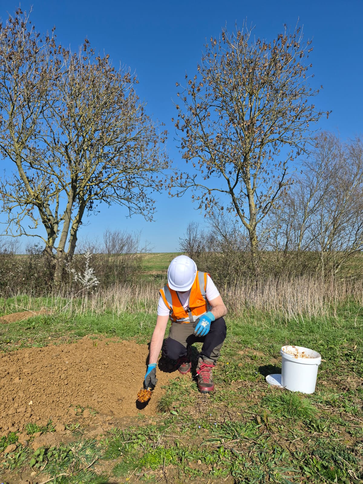
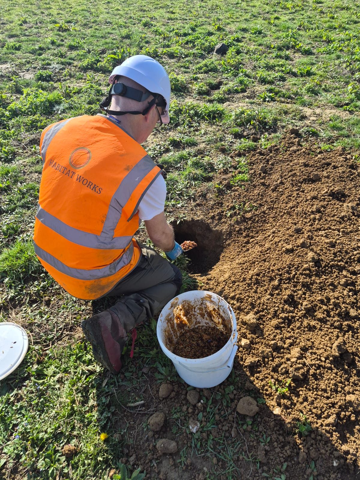
Bait was prepared off-site using a standardised mixture of peanuts, molasses and coloured pellets, with colours assigned to specific setts prior to survey commencement to ensure consistency throughout the programme. Field deployment typically involved 25–30 bait drops per sett, placed in accordance with agreed sett locations recorded within GIS systems.
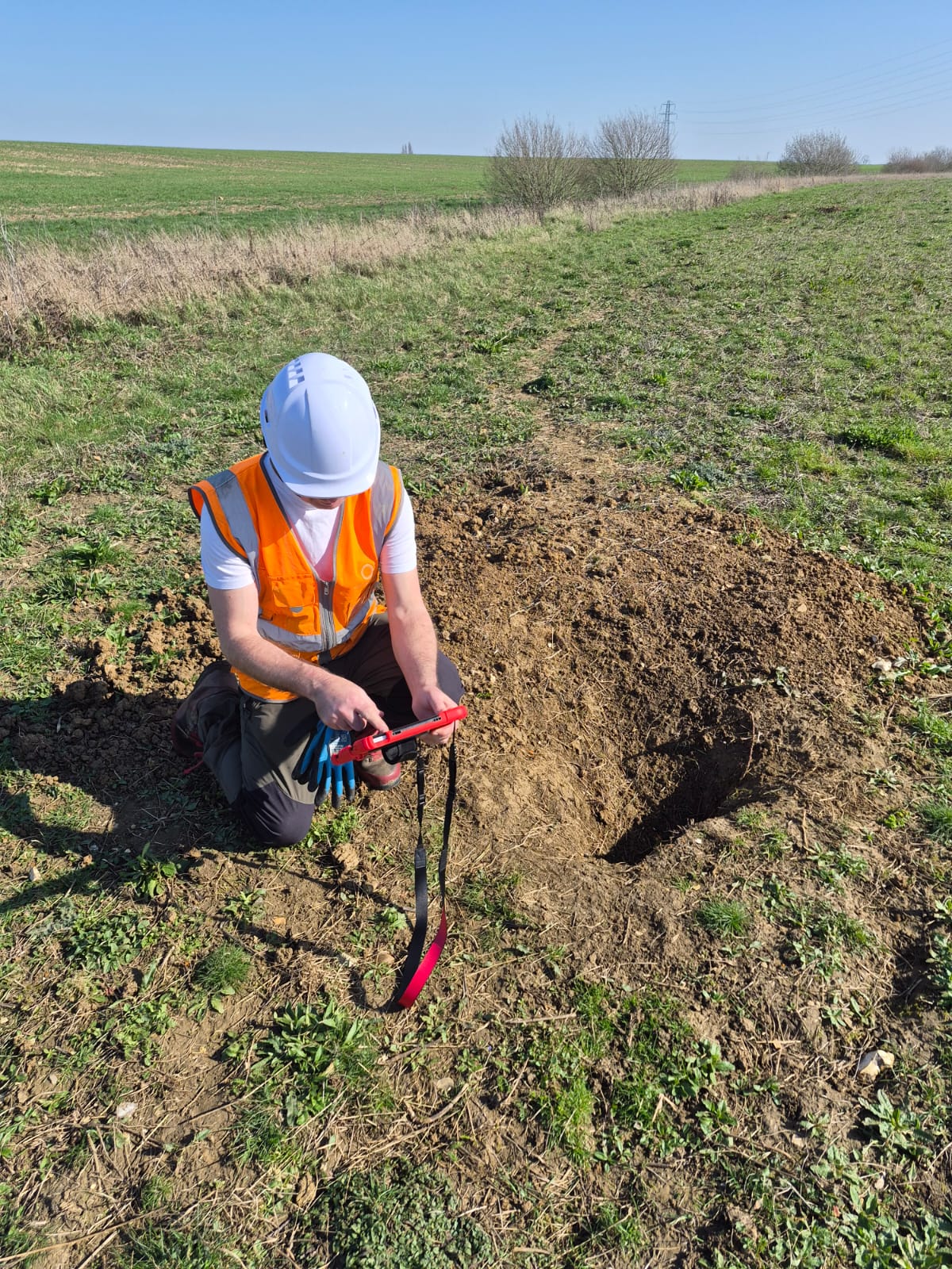
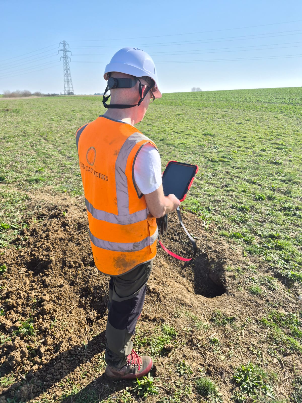
Surveyors navigated to setts using pre-loaded ESRI ArcGIS Field Maps, supported by land access layers, PRoWs and agreed access routes. Daily Point of Work Risk Assessments (PoWRA) were completed on arrival at site to capture any changing conditions or emerging risks.
Following bait deployment, systematic searches were undertaken across a 1km radius to identify latrines and dung pits. These were prioritised according to sett classification (main, high priority and low priority areas), with dung carefully examined using appropriate tools and PPE to identify the presence of coloured markers.
All records were captured directly within Field Maps, supported by photographic evidence and robust QA procedures. Data was reviewed daily to ensure completeness and accuracy prior to submission for quality assurance.
Biosecurity procedures were followed throughout, including cleaning of footwear and vehicle tyres at both entry and exit points, and strict controls were in place to ensure safe working practices across all field operations.
This recent programme of bait-marking surveys provided high-quality spatial data on badger activity, enabling a clear understanding of territorial structure and sett use across a complex landscape. Our continued delivery of bait-marking surveys demonstrates strong technical capability in specialist protected species work, combining field expertise with robust GIS-based data collection and rigorous methodology.